Type of path: Strada
Distance: 9 Km
Elevation: 354 mt
Difficulty: Intermedio
Description
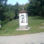
The route climbs up the opposing sides of the watershed that divides Boves from Robilante, reaching the hill of the Moor, where a pylon recalls a battle supported against the Saracens. Characterized by steep slopes, the route was also covered by the Giro d’Italia.


